PolarToolkit#
PolarToolkit (formerly known as Antarctic-Plots) is a Python package with the goal of making Polar (i.e. Antarctic, Arctic, Greenland) research more efficient, reproducible, and accessible. The software does this by providing:
Convenient functions for downloading and pre-processing a wide range of commonly used polar datasets
Tools for common geospatial tasks (i.e. changing data resolution, subsetting data by geographic regions)
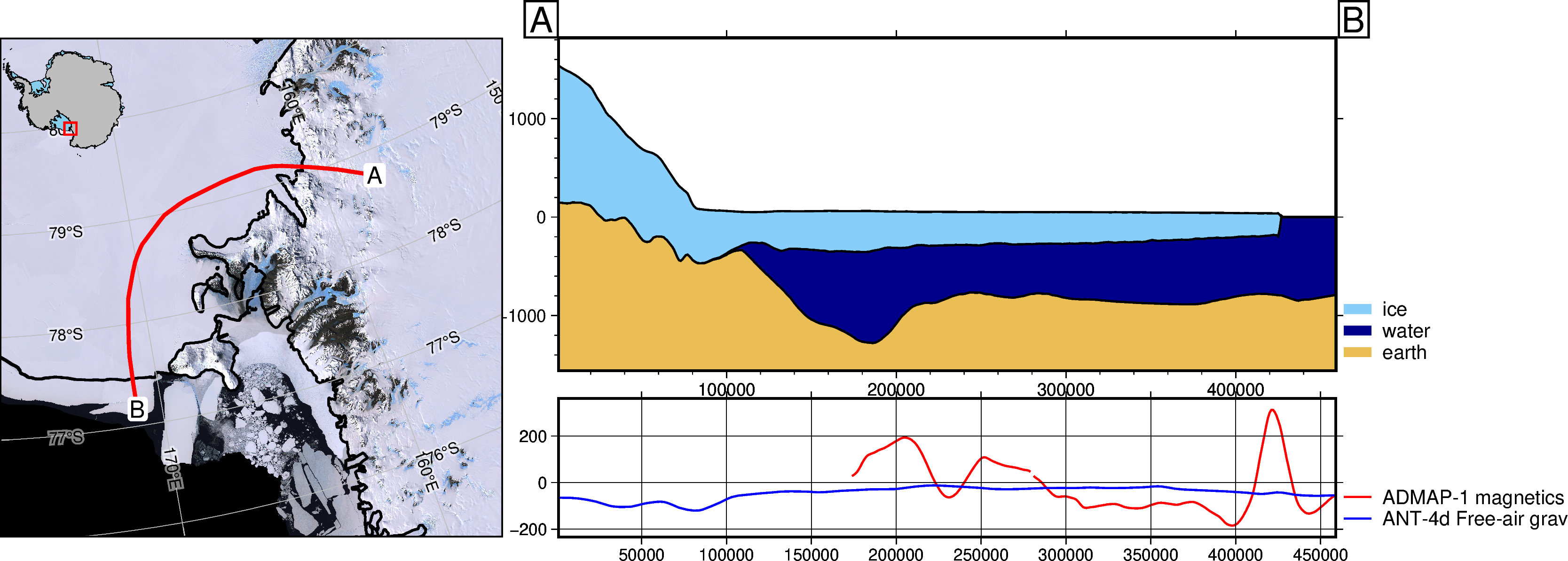
Code to easily create publication-quality maps, data profiles, and cross-sections
Additionally, PolarToolkit provides an easy means for exploring datasets with pre-defined or interactively-chosen geographic regions.

Ready for daily use but still changing.
This means that we are still adding a lot of new features and sometimes we make changes to the ones we already have while we try to improve the software based on users’ experience, test new ideas, make better design decisions, etc. Some of these changes could be backwards incompatible. Keep that in mind before you update polartoolkit to a new major version (i.e. from v1.0.0 to v2.0.0).
The PolarToolkit python package provides some basic tools to help in conducting polar research. You can use it to download common datasets (i.e. BedMachine, Bedmap2, MODIA MoA), create maps and plots specific to Antarctica (soon Greenland and the Arctic as well), and visualize data with multiple methods.
Feel free to use, share, modify, and contribute to this project. I’ve mostly made this for personal usage so expect significant changes. Hopefully, I’ll implement more tests and Gallery examples soon.
Project goals#
Below is a list of some features I hope to eventually include. Feel free to make a feature request through GitHub Issues.
Create 3D interactive models to help visualize data.
Include more datasets to aid in downloading and storage.
Additional projections and possible support for the Arctic region as well.
How to contribute
I really welcome all forms of contribution! If you have any questions, comments or suggestions, please open a discussion or issue (feature request) on the GitHub page!
Also, please feel free to share how you’re using PolarToolkit, I’d love to know.
Please, read our Contributor Guide to learn how you can contribute to the project.
Note
Many parts of this documentation was adapted from the Fatiando project.
Start a discussion on GitHub!
:click-parent: :color: primary :outline: :expand: Discussions
A list of modules and functions
Citations help support our work


