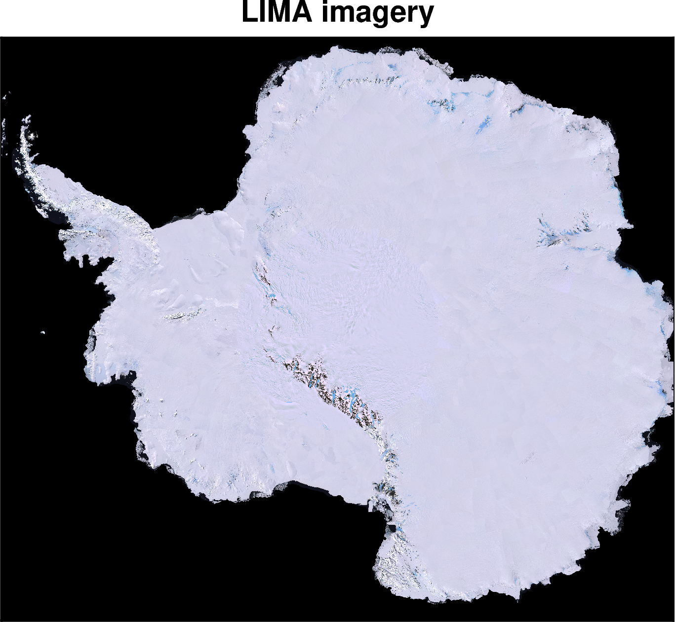
Landsat Image Mosaic of Antarctica (LIMA)#
Description: Satellite imagery of Antarctica
Dataset:
N.A.
Associated paper:
Bindschadler, Robert, Patricia Vornberger, Andrew Fleming, Adrian Fox, Jerry Mullins, Douglas Binnie, Sara Jean Paulsen, Brian Granneman, and David Gorodetzky. “The Landsat Image Mosaic of Antarctica.” Remote Sensing of Environment 112, no. 12 (December 15, 2008): 4214–26. https://doi.org/10.1016/j.rse.2008.07.006.
[1]:
import polartoolkit as ptk
[2]:
fpath = ptk.fetch.imagery()
fpath
[2]:
'/home/mdtanker/.cache/pooch/polartoolkit/imagery/lima.zip.unzip/tiff_90pct/00000-20080319-092059124.tif'
[3]:
# instead of passing the imagery filepath to `plot_grid`, we can use the keyword argument
# `imagery_basemap=True` to either `plot_grid()` or `basemap()`
fig = ptk.basemap(
    imagery_basemap=True,
    title="LIMA imagery",
    hemisphere="south",
    region=(-2.65e6, 2.65e6, -2.3e6, 2.3e6),
)
fig.show(dpi=200)