Groundingline locations#
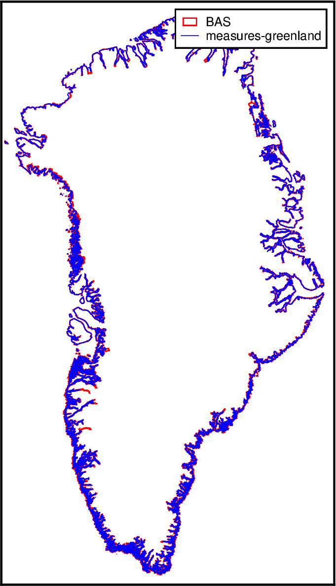
Description: The locations of the groundingline and coastline for Greenland from various sources.
The version from MEaSUREs requires an EarthData login, see link for how to configure this.
Dataset:
Gerrish, Laura. “The Coastline of Kalaallit Nunaat/ Greenland Available as a Shapefile and Geopackage, Covering the Main Land and Islands, with Glacier Fronts Updated as of 2017.” Application/octet-stream,application/zip. [object Object], December 2, 2020. https://doi.org/10.5285/8CECDE06-8474-4B58-A9CB-B820FA4C9429.
Haran, T., J. Bohlander, T. A. Scambos, T. Painter, and M. Fahnestock. “MEaSUREs MODIS Mosaic of Greenland (MOG) 2005, 2010, and 2015 Image Maps, Version 2.” NASA National Snow and Ice Data Center Distributed Active Archive Center, 2018. https://doi.org/10.5067/9ZO79PHOTYE5.
Associated paper:
N.A.
[1]:
%%capture
%load_ext autoreload
%autoreload 2

from polartoolkit import fetch, maps, regions
[2]:
version_names = [
    "BAS",
    "measures-greenland",
]

filepaths = []
for name in version_names:
    filepaths.append(
        fetch.groundingline(
            version=name,
        )
    )
[3]:
fig = maps.basemap(
    region=regions.greenland,
    hemisphere="north",
)

# plot the shapefiles
pens = [".8p,red", ".4p,blue"]
for i, v in enumerate(version_names):
    fig.plot(filepaths[i], pen=pens[i], label=v)

# add a legend
fig.legend()

fig.show(dpi=200)
ERROR 1: Features without geometry not supported by GMT writer.
[ ]: